Historic Terling member Mervyn has been analysing the data presented in the Essex Place-names Project (Essex Society for Archaeology & History) 2010 e-book, as it relates to the place names of Terling.
A variety of searches are available below, including the original work by the Recorder, James Kemble, to whom we are grateful.
![](https://historicterling.wordpress.com/wp-content/uploads/2022/09/terling_1841-4_tithemap.jpg?w=1024)
![](https://historicterling.wordpress.com/wp-content/uploads/2022/09/tithemapkey.jpg?w=243)
![](https://historicterling.wordpress.com/wp-content/uploads/2022/09/tithemap1.jpg?w=300)
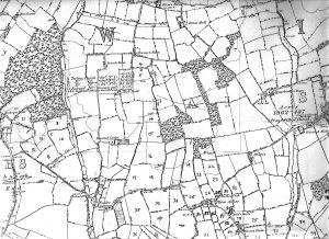
Map 1 Ranks Green down to Wasses farm. Boreham Road left to right Fairstead Hall.
![](https://historicterling.wordpress.com/wp-content/uploads/2022/09/tithemap2.jpg?w=300)
Map 2 Wasses Farm down to Ringers Wood, Lyons Farm left to right Owl’s Hill.
![](https://historicterling.wordpress.com/wp-content/uploads/2022/09/tithemap3.jpg?w=1024)
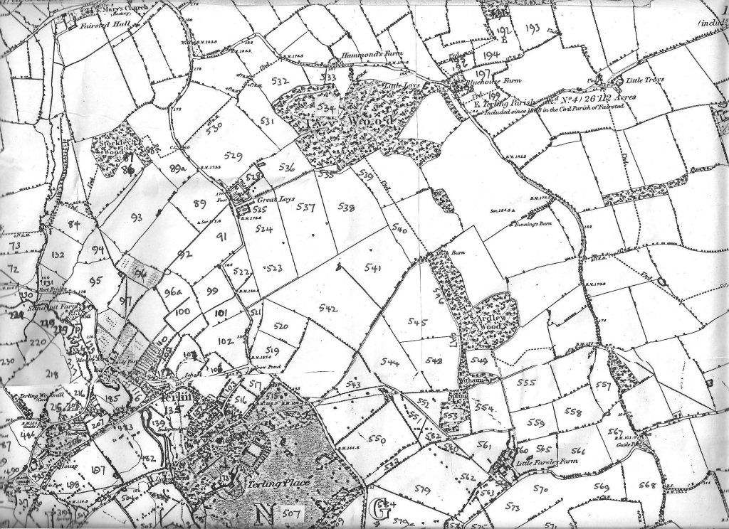
Map 3 Fairstead Church down to Terling Place, Flack Green left to right Little Troys
![](https://historicterling.wordpress.com/wp-content/uploads/2022/09/tithemap4.jpg?w=1024)
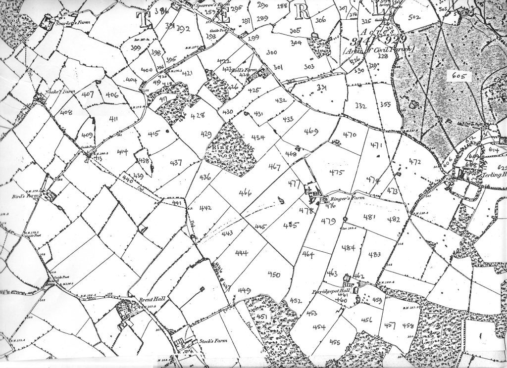
Map 4 Sparrows farm down to Stocks Farm, Birds Farm left to right Terling Hall
![](https://historicterling.wordpress.com/wp-content/uploads/2022/09/tithemap5.jpg?w=1024)
Map 5 Great Farsley (Fardings) down to Titbeech, Terling Hall left to right Pitfield Barns.
![](https://historicterling.wordpress.com/wp-content/uploads/2022/09/1844tithemap-1.jpg?w=1024)
Church Green Terling changed quite significantly after the 1844 Tithe Map.
![](https://historicterling.wordpress.com/wp-content/uploads/2022/09/1844tithemap_key.jpg?w=662)
![](https://historicterling.wordpress.com/wp-content/uploads/2022/09/terlingvillagetithemapafter_2.jpg?w=1024)